Deacue Fields, head of the Division of Agriculture who is also an agricultural economist, said the damage assessment is critical to help obtain aid for affected farmers.
“We created this assessment to help our farmers and are sharing our findings with Gov. Sanders and the U.S. Department of Agriculture,” he said, “Both are in a position to help the people of Arkansas agriculture through this very difficult time.
“We truly appreciate the speed at which our agents and faculty collected and processed this information under very difficult conditions,” Fields said.
The Division of Agriculture will conduct additional surveys to further refine the damage estimate.
Agriculture is the state’s largest industry, valued at more than $24 billion.
Pie chart showing acres impacted by flooding compared to acres planted as of April 7, 2025, and the total historical acres planted in Arkansas. (U of A System Division of Agriculture image)
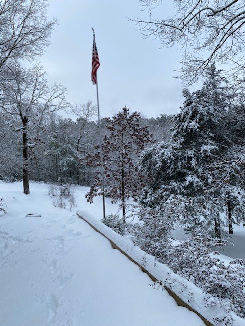
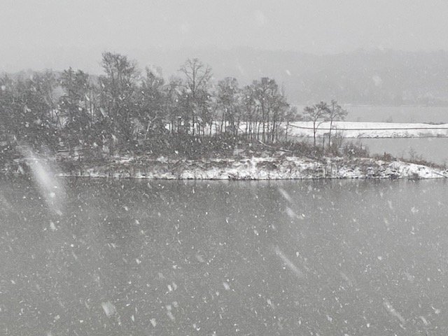
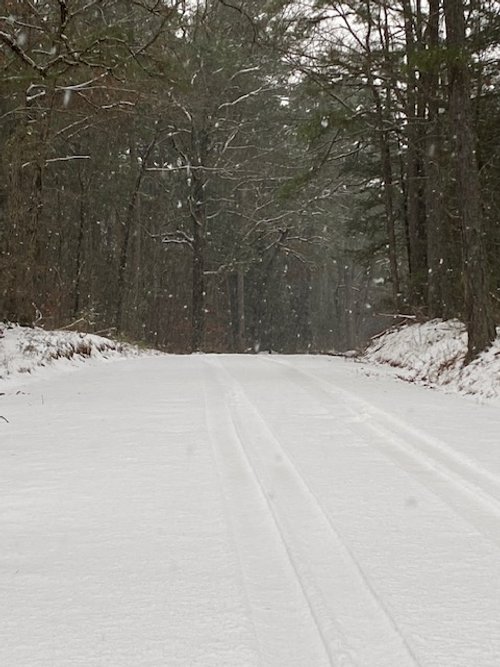
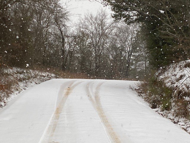
From April 2-6, Arkansas and parts of the Mid-South endured a series of storms culminating in what the National Weather Service labeled “generational” flooding. With more than a foot of rain falling in some locations, moderate and major flooding occurred along the Cache, Black, White and Ouachita Rivers. Water levels along those rivers were not expected to decline significantly through April 18.
Along the lower White River, the National Weather Service posted flood warnings until further notice.
Last week, Craighead County rice farmer Joe Christian posted an aerial photo of his farm on X, which showed the vast scale of the flooding. In it, the white roof of a storage shed surrounded by acres of brown water, with a few trees and outlines of fields visible.
Satellite analysis
Jason Davis, assistant professor remote sensing and pesticides application and extension specialist, was analyzing satellite imagery of the flooding to be paired and validated against ground observations made by extension agents.
“We’re one of the very few organizations that can do this,” Davis said. “With our direct connection to producers through both specialists and the county extension agents we are one of the very few organizations in the state that have the network to do this kind of validation with such a quick turnaround.”
For his analysis, Davis has downloaded imagery of 11 million acres in Arkansas’ Delta. The images are multispectral, so in addition to visible light, he has near-infrared images which can be used to “show very clearly where the water is.”
Using the visible and near-infrared images to create false color imagery, all water — “even the really turbid water that may look similar to soil in visible spectrum imagery, pops as fluorescent blue so it can be differentiated as flooded.”
Davis said he will also produce a “quantified map of where the water is pixel by pixel, so we can calculate the number of flooded acres by that. I use those two methods to calculate and validate where the water is.”
Davis said he overlays the satellite imagery with maps from the National Agricultural Statistics Service showing “where crop fields are and what commodity that field was planted in each year.” While the NASS data is from 2024, agronomists and economists can use these numbers as a baseline to adjust estimates based on what was planted and crop rotations.
Rice
The problem plaguing all farmers right now is uncertainty as water drains southward.
“We are still so much in the middle of this insanity,” said Jarrod Hardke, extension rice agronomist for the University of Arkansas System Division of Agriculture. In the next few days, “there is ground where the water is coming off and ground that is just now going under.”
The rising water won’t be dramatic like the original flood event, but farmers “will just start to see water getting deeper every day,” he said.
In the Payneway community, “they started sandbagging it last Wednesday, expecting it to flood this coming Wednesday,” Hardke said Monday. “They’re having to read the tea leaves about when and how this is all going to play out.”
Complicating the predictions are the different rates at which the rivers — all tributaries of the Mississippi River — drain.
“There’s the expectation that when the Mississippi River crest gets to Helena, that they’re going to need to protect the Mississippi River levees. They’ll be turning off their pumps and that means a lot of the water we’re draining out of the St. Francis and other rivers is going to start to back up.”
As for a rice redo, “we know we have a ton of levy damage and impacts. Tearing down and rebuilding damaged levees — that’s a substantial investment of time and money,” Hardke said.
“There is actually a little bit of replant seed available — seed that was deliberately held back for that purpose,” Hardke said. “But it’s going to be hit or miss depending on the type of rice they need.”
Soybeans
Jeremy Ross, extension soybean agronomist for the Division of Agriculture, said the high moisture levels left by the flooding are causing seedling diseases in stands that have emerged.
However, “we are still in the heart of the optimum planting window,” he said. “With less than 15 percent of the crop planted, there’s still time to maximize yield.”
Growers looking for seed to replant their soybeans may “not get the same variety you had, but you can still get the herbicide technology you’re looking for.
“The way I look at it is the best scenario is cotton and peanuts because nothing has been planted,” Ross said. “Second best is going to be soybeans, just because seed supply is really good.”
Ross cited the case of a grower in east central Arkansas who planted 2,700 acres of soybeans and 300 acres of corn.
“They’re going to have to replant the whole farm because of drowned soybeans and being hit pretty hard with seedling diseases,” Ross said. “But while it’s a bad situation, it could be worse. It’ll be a little more cost to recondition the beds, run the planter and then make an additional herbicide application, but they still have an opportunity to maximize their soybean yield.”
Corn
When it comes to corn, growers are also still within a good planting window, said Jason Kelley, extension wheat and feed grains agronomist for the Division of Agriculture. He said there should be seed available for replanting, but “it’s probably not going to be the grower’s first choice. They might get their second, third or fourth choices.”
Kelley said the late planting date for full crop insurance is April 25 in southern Arkansas and May 1 for northeast Arkansas, so most people are going to be able to get back in the field and replant corn before yields start dropping from late planting.”
Some growers that had corn emerging and plan to replant will have an unusual task: killing the rain-damaged first stand before planting again, since the partial initial stand will act like a weed for the replanted corn.
“A lot of people are probably just going to use tillage to get rid of the first stand as many of the raised beds are eroded down that irrigation later in the season may not be as effective,” Kelley said.
Raised bed erosion is a real issue “Producers may have planted the seed 2 inches deep,” he said. However, when the heavy rains came, “those beds ‘melted down,’ so now that seed isn’t 2 inches deep and it’s not nearly deep enough for proper root development, which can lead to plants falling over and plant loss.
"The silver lining is that if this rain happened a month from now, it would have been even more devasting since now, at least, we have an opportunity to replant corn,” he said.
Wheat
Kelley said, “Unfortunately for the wheat crop, we’ve got almost all the expenses in it already —seed, fertilizer, herbicides — so we’re basically waiting on harvest,” he said.
“Wheat can handle some water for a couple days like other crops, but the quicker the water recedes, the better,” Kelley said. “If the wheat is heading or in the flowering stage and the flood water is deep enough to go over the heads that would most likely result in blank heads with no grain.”
Authors
The fact sheet was authored by Hunter Biram, extension agricultural economist; Ryan M. Loy, extension agricultural economist; Jarrod Hardke, extension rice agronomist; Jason Kelley, extension wheat and feed grains agronomist; and Jeremy Ross, extension soybean agronomist.
To learn about extension programs in Arkansas, contact your local Cooperative Extension Service agent or visit www.uaex.uada.edu. Follow us on X and Instagram at @AR_Extension. To learn more about Division of Agriculture research, visit the Arkansas Agricultural Experiment Station website: https://aaes.uada.edu/. Follow on X at @ArkAgResearch. To learn more about the Division of Agriculture, visit https://uada.edu/. Follow us on X at @AgInArk.


